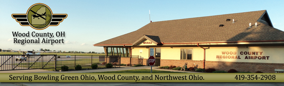
Come see the Wood County Regional Airports modern, relatively new terminal building!!!
The Wood County Regional Airport is located one mile north east of the city of Bowling Green, Ohio, USA and is approximately 20 ground minutes from downtown Toledo, Ohio, via expressway.
By air we are four miles south of the Waterville VOR (VWV) on radial179 and approximately that distance outside the Toledo Class C airspace.
The runway configuration consists of: The main runway, 10-28, is 4200 feet long and 75 feet wide, asphalt with pilot controlled lighting. Instrument approaches are RNAV (and GPS overlay) to 28 and VOR circling to 10 and 28. The cross wind runway, 18-36, is 2627 feet long and 50 feet wide, asphalt with pilot controlled lighting. Instrument approaches are VOR (and GPS overlay) to 18 and VOR circling to 36.
General aviation hangar space is available in various forms: One heated maintenance hangar. Two ten unit T-hangars. Land leases are available adjacent to taxiways for construction of both general and corporate hangars.
Large plot economic development zones have been reserved on field and adjacent to airport property. Development of these areas is being actively solicited.
Home | About | Arrival Information | Contact
Copyright 2010 Wood County Regional Airport (The information contained on this page may not be current. Please consult the
Airport Facilities Directory and NOTAMS for the most current data on 1G0.) Not For Navigational Use